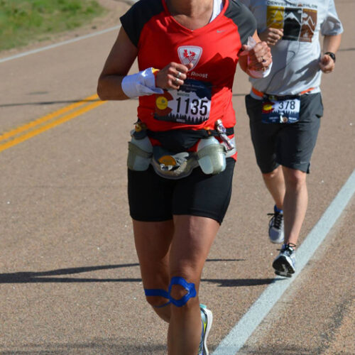
We are going to be using our Runners Roost Race Team Members to highlight local trails you were you run, hike, and walk. Colorado is a beautiful state. We know how much it has to offer and that it can get overwhelming to always know where to go. Today’s trail review is from Rooster JoAnna Masloski who is bringing us to Green Mountain.
Location: Lakewood, CO
Trail Length: Specific route is 9.4 miles but you can go just about any distance!
Elevation Gains: 1,400 for this specific route (and most routes on this trail require an initial climb but beautiful views and flat running for miles at the top)
Terrain: Single Track | Fire Road
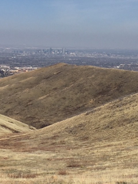
Views: Entire Front Range – Flatirons/Boulder | Mt. Evans | Downtown Denver
Support: Please bring hydration and energy as there isn’t any water or stock areas on this route.
Start: Rooney Road Trailhead – 1000 S. Rooney Rd., Lakewood CO 80228
Who’s that Rooster?:
JoAnna resisted running until reality hit that she wasn’t a ballerina, rugby player or deep sea diver..oh, about 25 years ago! Now, dog-mom to 11 year old cocker spaniel Moby, mother to 7 year old son, Cole, author of ‘Closer to Fine’, executive in the fitness industry and honored Rooster, JoAnna would rather never have to do without a day on the trails (in fact there are very few that she misses). Weekdays that means out the door in the crisp, dark morning air and weekends, time is tight but trail-time so important. That daily consistency might not get more than an hour but it works for races ranging from ½ marathon to 50K with a passion for running uphill (favorites being Mt. Evans Ascent, Pikes Peak and Vail’s Berry Picker). JoAnna looks forward to sharing with Roost Fans the quickest way to arrive at great Front Range trails and get that necessary trail time without taking away from all that other things that the rest of life has to offer (family, food, a few beverages and even a weekend nap or two).
Why I love this route:
• Minutes from Downtown Denver
• Your first opportunity for a jog after a long I-70 trip (its at the crossroads of I-70 and 470)
• All you have to do is get to the top and then it is single track, view-heaven and FLAT!
• One of the many descent choices, Rooney Valley, is one of the fastest in the area!
Featured Route:
As you exit 470 at the exit commonly known for Dinosaur Ridge, go towards Dino Ridge but instead of parking and walking up the road towards that go right and the take your first right into the trailhead parking lot. From there you will see a pedestrian bridge leading over 470 (which you will take) and a ridge with running trails towards the west (which will be featured in another blog to come). Park, prepare your hydration and energy, grab a pit stop in the restrooms and get ready to go up, up, and up for the next :30 min. or so! All joking aside, this route does allow for a decent “warm up” of the legs and a “realistic” ascent (my boyfriend from sea level agrees).
• 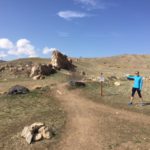 Start out by taking the paved, bike trail up and across 470 to an intersection with numerous other various trails. I find the most realistic/enjoyable journey up the “hill” is the first trail you see that goes to the left. It looks like a black mountain biking trail (and there are bikes that come down the trail quite often – but you have right of way going up) and has some rock formation but trust me… get through that and you’re on your way to happy single tracking all the way up!
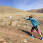
• Take that trail about 1.5 miles to the junction that continues north or heads up the trail (see picture), head up the trail!
• As you ascend the coming 2.5 miles (for about 4 miles ascent) keep your head up for down-flying mountain bikers and jump the side if you can (although they are supposed to yield)
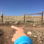 • As you get to the top of this trail (and a T in the trail) take a left and head towards 470 and I-70. You have reached the virtual “top” with just slight ascents from this point forward. Stop to celebrate (and take a deep breathe) if you like! As you take a left you are headed on a loop/ridge around Green Mountain. This is great single track but very rocky. Try to stay on the trail as much as possible but short hops off are acceptable considering the large rocks that threaten healthy ankles!
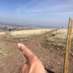 • Take this ridge about 2 miles to the junction (pictured) where you will go back down (oh, isn’t that so sweet after a long up and flat)! This was just a little side adventure we went on this day so feel free to skip this 1.5 miles if you don’t feel like descending further on this day. If you choose to take the challenge descend to the water “towers” and then turn around and sprint (ok, its all relative) right back up to that same T where you chose (yes, you chose it) to descend!
• At that “T” take a left for about .5 miles before you head up towards the power station. Yes, this is about a .5 mile ascent before you get to bomb down one of the best descents on the front range (Rooney Valley)
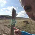 • After the power station run about ½ mile to the Rooney Valley sign on the left side of the trail (before you reach the top of the hill again) and start your final descent – woofda! From here trust your legs (well, as much as you are willing) and roll that downhill! True story… when I was running this blog route two children about half my size were testing their legs in bombing strategy… wow, they’re dad cheering them on as I feared for shins and hands if they were to miss even one step or rock but no, these kids were destine for their trail running debut! After high fiving them about half way down I continue enjoying the only time my legs get back “fast running” status for about another mile!
 • After that beautiful downhill, turn right to head back to the trail head. This mile has a few “rolling hills”, ugh at the end of a great fast downhill. And, you won’t be able to see the trailhead until you come over that last ridge but trust me… it will be there for you when you are headed northwest on the trail after that downhill (make a right turn)!
Enjoy Rooster Club; opt-out-side as often as possible!




Recent Comments